 ';
view
';
view
Overview
Our capability allows us to provide high quality survey results coupled with appropriate evaluation and assessment. We apply this experience to develop net gain, mitigation and compensation strategies to address the impacts of development; for condition monitoring of Sites of Special Scientific Interest (SSSIs); to monitor species to determine conservation status and to assess impacts of development. We have written a variety of management plans for rare plant species, habitats and nature reserves.
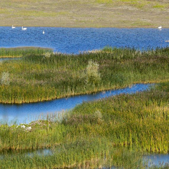
Our survey capability includes:
- Phase 1 Habitat Survey, from site-based to county-wide projects;
- Extended Phase 1 Habitat Surveys – these expand the scope of the Phase 1 Habitat Survey to include assessment of protected and notable species;
- NVC Survey of semi-natural plant communities;
- Phase 2 botanical survey for sites and habitats that do not readily conform to the NVC system, such as post-industrial (brownfield) sites;
- Monitoring communities and plant species to determine their response to management;
- Phase 3 surveys of individual plant species, including rare protected species such as maidenhair spleenwort, fine leaved sandwort and lizard orchid;
GIS, Data Analysis and Presentation
We can use GIS to map and monitor habitats, communities and populations and to correlate abundance and distribution with other factors such as aspect, gradient, and soil type. On large sites (for example, in moorland) we can use GIS tools to accurately map habitats; this greatly reduces post-survey data processing time. We can use statistical software programmes including MATCH, MAVIS or TABLEFIT to classify NVC communities.